RMH Distance Master for WooCommerce
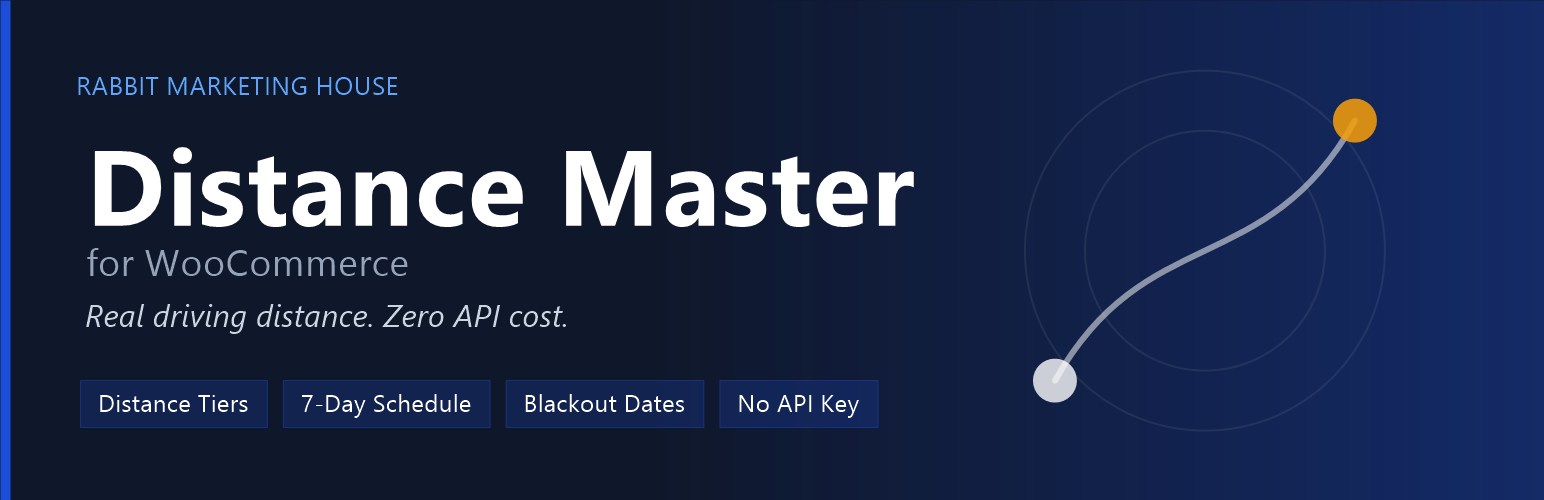
Distance Master calculates delivery eligibility and shipping fees using real driving distances (OSRM + OSM). It supports shipping tiers, a 7-day schedule, blackout dates, an emergency toggle, and product-specific "Strict Delivery" rules.
Short Description
Distance Master manages WooCommerce delivery eligibility using distance bands, schedule enforcement, and manual postcode controls.
External services
This plugin connects to two external services to calculate driving distances between your shop and a customer's delivery postcode.
1. Nominatim (OpenStreetMap) Used to convert a customer's postcode into geographic coordinates (latitude/longitude). Data sent: the postcode string entered by the customer at checkout. When: only when a distance check is needed and no cached result exists for that postcode. Service provider: OpenStreetMap Foundation. – Usage policy: https://operations.osmfoundation.org/policies/nominatim/ – Privacy policy: https://osmfoundation.org/wiki/Privacy_Policy – Terms of use: https://osmfoundation.org/wiki/Terms_of_Use
2. OSRM (router.project-osrm.org) Used to calculate the real driving distance between the shop coordinates and the customer's coordinates. Data sent: the shop's latitude/longitude (set by the store owner in plugin settings) and the customer's latitude/longitude (derived from their postcode via Nominatim above). When: only when a distance check is needed and no cached result exists for that postcode. Service provider: Project OSRM (open-source routing engine demo server). – Project page: https://project-osrm.org/ – Source and terms: https://github.com/Project-OSRM/osrm-backend
No personally identifiable information (name, email, address) is ever sent to either service — only coordinate or postcode data. Results are cached locally for 30 days to minimise requests to both services.
How to get lat/long
- Open Google Maps or OpenStreetMap and right-click on your shop location.
- Select "What's here?" (Google) or simply inspect coordinates in OSM.
- Enter the latitude and longitude into the plugin settings.
Installation Notes
- Upload plugin folder to /wp-content/plugins/
- Activate the plugin and go to Distance Master settings to configure lat/lng, tiers, and schedule.
Support
For support, visit: https://rabbitmarketinghouse.in